Kinnairds Wetland
 Kinnairds Wetland is located north of the Broken Creek, near Numurkah, about 20 minutes north of Shepparton and 2.5 hours north of Melbourne.
A range of constructed trails suitable for walking and cycling, boardwalks, bird hides and picnic areas give you the opportunity to enjoy the wonderful diversity of wetlands, woodlands and wildlife.
Kinnairds Wetland is part of a larger natural wetland (a prior stream depression). Covering an area of 93 hectares of natural and constructed wetlands, Kinnairds Wetland is part of a scheme designed to provide major regional drainage benefits for land in the Muckatah Catchment. The wetland is fed by flows from the Muckatah Surface Water Management Scheme, which has a 600 km² catchment, beginning in Yarrawonga. The natural and constructed areas of the wetland act as a retarding basin. This aids in filtering sediments and nutrients, and minimises the rate of flows entering the Broken Creek to the south, which eventually flows into the Murray River in the Barmah Forest.
Moira Shire Council, Goulburn-Murray Water and Goulburn-Broken Catchment Management Authority jointly manage Kinnairds Wetland, with assistance from a Community Advisory Committee, Numurkah Visitor Information Centre and the Department of Primary Industries.
For more information, including a detailed map of Kinnairds Wetland, or a list of wetland birds and Micro Bats found in Kinnairds Wetlands, download the documents below.
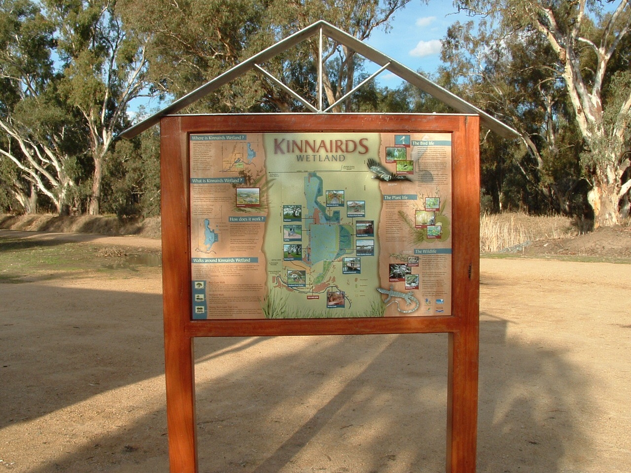
Kinnairds Wetland Map(PDF, 2MB)
Kinnairds Wetland bird list(PDF, 200KB)
Kinnairds Wetland Micro Bat survey report(PDF, 2MB)
Monitoring ecological response to flooding report - March 2011(PDF, 7MB)
Kinnairds Wetland Environmental Management Plan 2014(PDF, 4MB)